The Anerley Audax Ride 2011
A challenging ride through the Ashdown Forest and scenic country lanes, now to be revisited in 2025!
Note that in 2011, Sat-Nav for cyclists did not exist so map reading was a necessary skill. Now in 2025 you have the easy, digital aid of Garmin/Strava, etc, but not the extra fun and challenge of finding your own way about our countryside.
The Anerley 100K Audax was our chance to get a good long and challenging ride in before winter of 2011 set in. The October weekend before the ride augured good, with hot sun and Indian summer temperatures rising to circa 28c. However on the day of our ride the thermometer had plummeted by almost 20 degrees! So it was thermal undies out of moth balls for the morning start at Edenbridge Leisure Centre. Louise and Brian cycled the 18 miles to the start (and back after the ride), so their ride added up at circa 100 miles, The rest of us (making 8 in total) took the easier option of going down to Edenbridge by car.
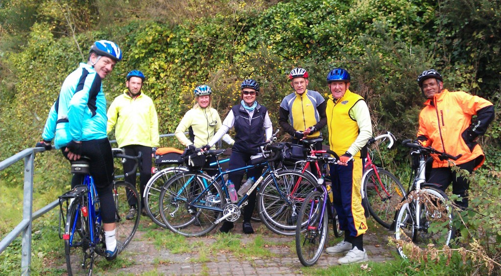
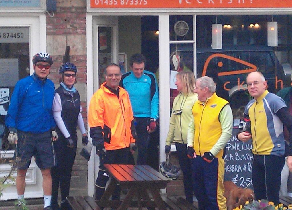
Ricky provided a photo of the other 7 winter clad riders.
Suffering the advancing stages of sarcopenia I set off in advance, accompanied by Tom Vaz, expecting the younger and much fitter riders to catch us before the first tea stop at Mayfield.
The early part of the route I knew very well so did not have to refer to the route card. We had in any case both forgotten to bring a map!
 A few miles out and we came across signage marking the route of the longest (100 mile) ride option of the SRS Brighton to Brighton Sportive, a ride in support of the Sussex Heart Charity. This route followed ours as far as Forest Row, where they had a feed station, before heading east. Heading west from Forest Row towards Colemans Hatch, we met riders from yet another Sportive, this one being sponsored by Wiggle.
Hatch refers to it being one of the ancient gateways into the Ashdown Forest and here the scenery becomes more scenic, and challenging. After a fast downhill we had the “pleasure” of the long climb up the “Wall” to arrive at one of the highest points in the forest. From there it was an easy few miles, mostly down hill before a turn off into the hamlet of Fairwarp, and what was for me, unknown and virgin territory. (Warp, or wearp, being an ancient term for the twigs used in basket making).
From here to Mayfield, and for most of the ride, we were cycling through centuries of England’s history. The Romans were here 2000 years ago exploiting the iron ore in the local sandstone. Medieval guns and canons were manufactured here. The area abounded with smithies using charcoal from the oak wood forests to fuel the furnaces, and water from the many ghylls to power the water mills to work the bellows and hammers.
Today the smoke and noise of this industrial past are gone. What remains is the beauty of this bygone age. Little narrow and winding forest lanes, steep sided valleys with little bridges over the trickling waters of the ghylls, and lovely old houses which once belonged to the wealthy iron masters. The house names tell you about this ancient past, “Old Forge Farm”, ”Hammer Pond House”, The Smithers” and many more.
After several miles of ups and downs along these delightful forest lanes, at the top of a steep hill was a lovely old white washed house, quaintly named “ Little Twitts”. It would have made a great photo opportunity if either Tom or I had a camera. No map, no camera, what twitts! But I was amused when at the bottom of this hill, with a steep climb ahead, we came upon a very familiar sign. At which point two cycling hooligans, up and out of the saddle, came racing by as they charged up the hill. Jeremy and Brian had caught us up at last!
Followed very shortly by the rest of the gang. Good timing because we were only 5 minutes away from the tea stop at the delightful village of Mayfield.
Here was a nice tea room named Peckish, and after some 28 miles we were peckish! The food was great but the service, like me, very slow!
UPDATE APRIL 2022
And slow becomes stop. As Tom and I had forgotten to bring a map, it was time to check our Audax supplied route instructions. Of course, now that we are in the digital age, most of you will want the route available as a download for your Garmin, mobile phone, or other digital device. So to help you I have now plotted the route from our start at Edenbridge to our tea stop at Mayfield, which you can see here https://cycle.travel/map/journey/211275
The route details. turn by turn, are included via the left hand scroll down menu, as is a link to download a GPX file for those who are lost without a sat nav to guide them!
Part 2 of this ride, from the tea/lunch stop at Mayfield and return leg of our circular route back to Edenbridge is here, with a download of this part of the route. via https://anerleybc.org/the-anerley-audax-ride-part-2/
Des


I thought there were 8. Only 7 at the tea room?
Yes but Jeremy would not wait. We couldn’t keep him away from his fry up!